Terrain
- General Overview
- Related Tools

Top of terrain: This sets the global Z coordinate of the top elevation of the terrain. You do not have to restart Modeling to see this applied. Terrain is shown in Modeling when the User and Site Options > Modeling > Modeling terrain color and Background color are different.
| Top = -40-0 | Top = 0 | Top = 40-0 |
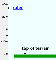 |
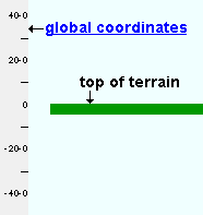 |
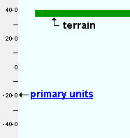 |
Tip: In many cases, you will want to enter an elevation that is equal to the bottom elevation of the lowest column in your model.
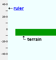
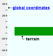
Thickness of terrain: This sets the thickness of the terrain. The color of the thickness of the terrain is the User and Site Options > Modeling > Modeling terrain color 2. Terrain is shown in Modeling when Modeling terrain colors (1 & 2) are different colors than the Background color. You do not have to restart Modeling to see changes in terrain thickness applied.
| Thickness = 5-0 | Thickness = 10-0 | Thickness = 15-0 |
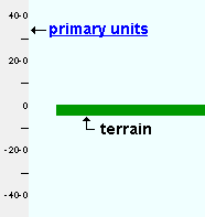 |
 |
 |


|
|
OK (or the Enter key) closes this screen and applies the settings.
Cancel (or the Esc key) closes this screen without saving any changes.
Reset undoes all changes made to this screen since you first opened it. The screen remains open.
- Terrain (topic)
- Modeling terrain color (User and Site Options > Modeling)
- Terrain (Display Options)


